Please wait... we are looking for facilities that match your request
63210 ORCIVAL
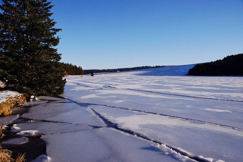
Lake Servières is a French lake of volcanic origin located in the chain of Monts Dore in the Massif Central, specifically in the Auvergne region, in the department of Puy de Dome.
Located at an altitude of 1202 m, it was formed in the crater of an extinct volcano that is what is known as a maar. Going up through the fractures of the earth's surface, magma encountered groundwater. The vaporization of the water causes immediate intense pressure, which produces a cataclysmic explosion. The crater was then filled with water. It is shallower (26 m) and much smaller than the largest maar in the region, Lake Pavin since only 15 hectares instead of 44. At its outlet escapes Sioule, a tributary of the Allier.
One can fish for trout and Arctic char, the fly fishing is productive.
It is largely surrounded by forests of fir and larch, which was found in blueberries, raspberries and wild. On the summer pastures that border, mysterious holes are aligned. These are the remains of houses, tras (former name of burons). This is old shepherds' huts (temporary summer pastures of burons) covered roofs, perhaps dating from the barbarian invasions.
Two Great hiking trails intersect here: the GR 30 and GR 441.
It is located in the town of Orcival.
Servières Lake is privately owned, operated by the Society of Fisheries Staff Michelin. This body of water remains available to the public.


 Share
Share